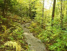
Little River
The Fulling Mill ruins at Little River represent an immensely important piece of Charlton's history. The rugged walking trail is open to the public for passive recreation limited to non-motorized use. It meanders along the river and passes close to the mill ruins stonework. The Little River trail connects to both the Midstate Trail and the trail
system at Buffumville Lake which means walkers and hikers can spend hours enjoying the area! CHPT will maintain the Little River trail and mill site on this property, but appreciate your help in keeping it clean as well. Enjoy your next visit to the Little River trail and Fulling Mill site! For more information on Fulling Mills, click here.
Little River was officially opened to the public following a dedication on April 24, 2004. We continue to visit this property often and are continuously working to upgrade the trail.
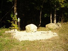
The Worcester County Sheriff's Office Community Service Program has been out twice over the past several years to work on the Little River trail. The officers and their crews spent several days laying crushed stone along the 1/2 mile trail, using stones to stabilize the trail and create visual borders for walkers along the more rugged portions of the trail. They also cleared high grass and weeds at the trail heads and along the guard rail, installed bridges over wet areas along the trail, and create stone stair ways on steep areas of the trail. These important improvements serve to make the path safer for walkers, control erosion, protect the existing flora and fauna, and generally creating a more scenic walk along Little River. They did an outstanding job and CHPT is grateful for their help! The trail can be accessed off the parking area or off of Buffum Road.
Directions
From route 20 east turn right onto Richardson's Corner Rd. and continue for about 2 miles, then take a left onto Turner Road. At
the end of Turner Road there is a Y at a stop sign; take a right. Almost immediately take another right onto Fulling Mill Drive. On the right there is a guardrail. Where the guardrail ends make a u-turn around the end of the guardrail into the parking lot. The coordinates to the parking lot are (WGS.84) North 42 08.129 West 071 54.705.
Print: Directions | Trail Map
Permitted/Prohibited Uses


Assessor's Map Data: Parcel
ID #s 55-B-11.19, 55-B-11.21 and 55-B-11.22
|
Photo Gallery
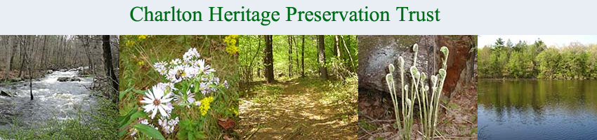
Trail Head
Trail
Little River
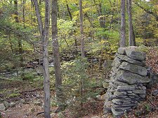
Fulling Mill Ruins
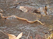
Snake
|